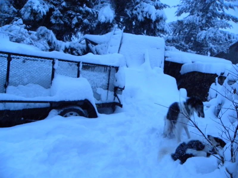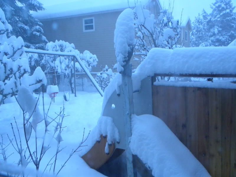
Time to batten down the hatches. I think maybe I brought the snow with me from Idaho. What gives? I thought I was through with all the shoveling of snow...glad I brought my snow blower with me. I used it today.
And this "historic" and upcoming storm is suppose to hit in the wee hours of the morning. All hell breaks lose around here when it snows. It's usually wet, slushy and VERY hilly. Then all that mess chills and gets icey. Stir in inexperienced snow drivers and lots of traffic and it is a mess. Add the fact that they don't have any snow plows and hardly do a thing to fix the roads. :wall:
The year before last, I think it was, I was visiting here and when it snowed, it was taking people 10 and 13 hours to get home. Buses were no better off. People could go to the bathroom, being stuck on the roads. They were running out of gas. It was horrible. I lucked out when I picked up my daughter from work...the timing I guess was just right and we got home pretty easily. So, this is suppose to be worse! Of course, the media loves to stir up more drama than is usually called for, but who knows?
I went shopping today and made sure I had plenty of vegetables and other stuff. I seem to have quite the nesting instinct. lol.
http://www.weather.com/outlook/weather-news/news/articles/more-snow-headed-for-northwest_2012-01-16
picture/video in link
And this "historic" and upcoming storm is suppose to hit in the wee hours of the morning. All hell breaks lose around here when it snows. It's usually wet, slushy and VERY hilly. Then all that mess chills and gets icey. Stir in inexperienced snow drivers and lots of traffic and it is a mess. Add the fact that they don't have any snow plows and hardly do a thing to fix the roads. :wall:
The year before last, I think it was, I was visiting here and when it snowed, it was taking people 10 and 13 hours to get home. Buses were no better off. People could go to the bathroom, being stuck on the roads. They were running out of gas. It was horrible. I lucked out when I picked up my daughter from work...the timing I guess was just right and we got home pretty easily. So, this is suppose to be worse!
Of course, the media loves to stir up more drama than is usually called for, but who knows?I went shopping today and made sure I had plenty of vegetables and other stuff.
I seem to have quite the nesting instinct. lol.http://www.weather.com/outlook/weather-news/news/articles/more-snow-headed-for-northwest_2012-01-16
picture/video in link
Major Winter Storm from Pacific Northwest to the Northern Rockies
Late Tuesday night through Wednesday, a strong low-pressure system with copious amounts of moisture will approach the Northwest coast. This will set the stage for a major winter storm across the lower elevations and mountains of the Pacific Northwest. Travel could become dangerous or impossible in the cities listed below, just to name a few.
Cities in the winter storm threat zone: Seattle | Olympia | Bellingham | Portland/Vancouver |
Snow from this storm will spread well inland across the interior Northwest into the Northern Rockies. Spokane, Wash., Coeur d'Alene, Idaho, Kalispell, Mont. and Missoula, Mont. will all deal with substantial amounts of snow and rough travel conditions.
How Much Snow?
As usual, the big question is always: How much snow am I going to see??? Below is our snow forecast map for the Northwest region the next 48 hours. You can find specific snow forecast total ranges plotted below some of the cities on the graphic. As you can see, we are forecasting some rather hefty amounts across western Washington (including Seattle).
One caveat to this forecast. There remains some uncertainty with how quickly the snow may eventually change to rain on Wednesday. This is particularly the case the farther south you go along the I-5 corridor (i.e. Portland/Vancouver). Snow should change to rain in Portland on Wednesday morning.
Keep in mind, average annual snowfall is only 2.4" in Portland and 5.9" in Seattle, so these amounts are very significant for these metro areas! According to the National Weather Service in Seattle, Wash., snow amounts from this storm could exceed anything seen since November 1985 at Sea-Tac airport.
More perspective: Seattle's snow history
In the mountains (Cascades and Bitterroots), we expect several feet of snow to pile up!